1]
FlickrVision: Great workshop tone-setter (mind you the risk will always be there for inappropriate photos...)
2]
ClustrMaps: Easy to embed, and great for tracking site visitors. Scroll to the bottom of this page for a sample.
3]
Google Maps: Easy to create; You can add text, hyperlinks, photos. An evolving example:
CCK08 Participant Map.
4]
Visual Complexity: Maps of many different types to show 'information'. See more than the screen captures by visiting the links from each page... simply amazing visualizations!
5]
FlashEarth: Not quite Google Earth, but a full screen interactive model of the earth. Tour NASA map; open layers; Microsoft Virtual Earth...
6]
TwittEarth: Twitter fans might like to see where international tweets are coming from. This is another great tone-setter.
7]
Map of the World 2.0: A mosaic of logos recreates the planet.
8]
Traveler IQ Challenge: A fast-paced game that rewards both speed and accuracy in plotting major cities on a world map. If you prefer to learn countries, a slower paced 'blackline master' game is available at
GameDesign9]
MapMe.com: Create and share maps that include photos, audio and video.
10]
GeoGraffiti: One for iPhone users! Add audio tags to locations you visit. Other users can use the GPS capabilities of their phones to listen to historic re-enactments; public reminiscing, or live anecdotes.
11]
Music Map: Which bands are closely related to others? It is surprisingly relevant for finding artists similar to your favourites.
12]
Intellicast: My favourite North American weather map resource. Animated radar is super-effective in helping me anticipate precipitation.
13]
Global Political Map: This full screen, zoomable PDF is the best I've found. The map is accurate as of 2007. The
2004 version is also available.
What other great mapping tools would you add to this list?Photo Credit:
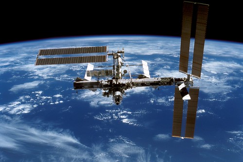
NASA